Alpine Tunnel
An absolutely awesome way to spend half a day or more! Spectacular scenery.
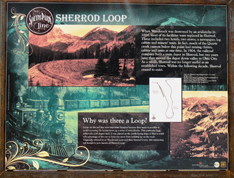
Leaving the north end of Pitkin, continue on Cumberland Pass Road (FDR 765) until you reach the Alpine Tunnel Road (FDR 839) sign, just past the Sherrod display.
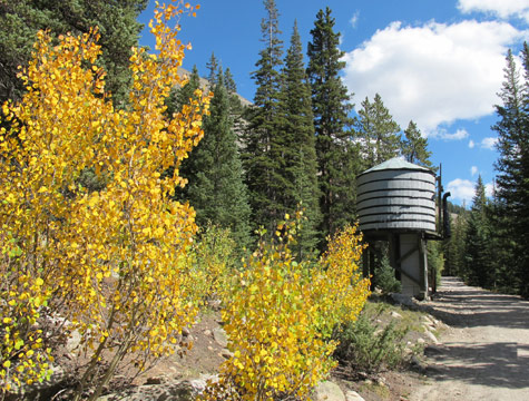
Along the way you will pass two railroad water tank, the first one restored by the MileHigh group.
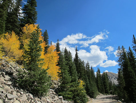
The road is in good condition and is considered an “easy” drive, at least until you near the top.
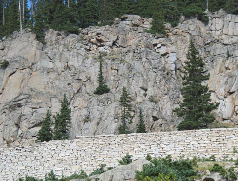
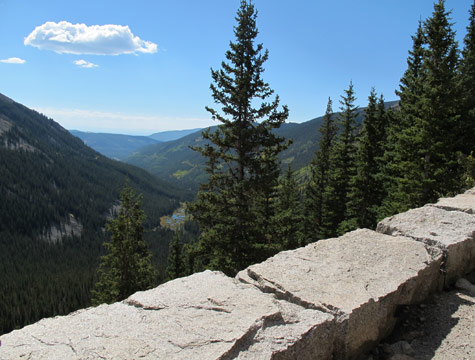
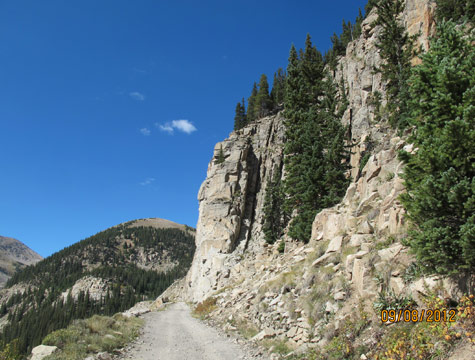
Next to spectacular cliffs, the road crosses a narrow man-made terrace known as the “Palisades.” The ledge is supported by a wall of hand cut native stones, two feet thick by 33 feet high and 425 feet long. The entire wall was dry laid without the use of mortar. A tribute to its talented builders, the wall remains today in the same relative condition as when first constructed in 1881.
The Alpine Tunnel Historic District consists of a two hundred foot wide right of way along thirteen miles of original Denver, South Park and Pacific railbed between the town sites of Quartz (in Gunnison County) and Hancock (in Chaffee County). The District consists of property located on the Gunnison National Forest and the San Isabel National Forest as well as two separate parcels of private land.
The Alpine Tunnel Historic District is a joint Project sponsored by the Gunnison County Lodging Tax Panel, the Alpine Tunnel Historic Association, and the U.S. Forest Service.
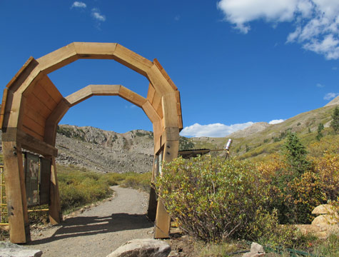
Visitors to the District can follow a 10 mile auto tour.
The Alpine Tunnel Historical District is normally open from July to September.