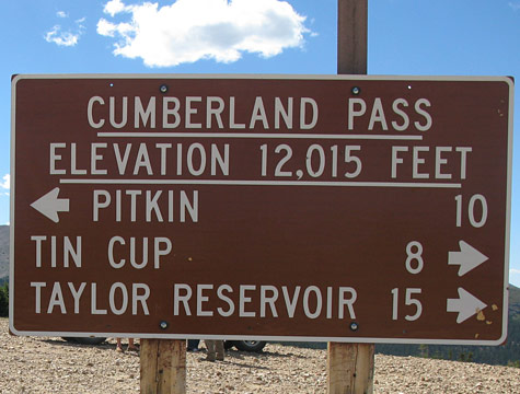
Cumberland Pass
- Cumberland Pass begins as you exit the north end of Pitkin
- It’s approximately 10 miles from Pitkin to the Pass
- Alpine Tunnel Road will exit on the right a few miles from Pitkin
- Continuing thru the Pass will bring you into Tincup
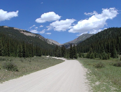
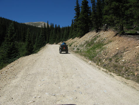
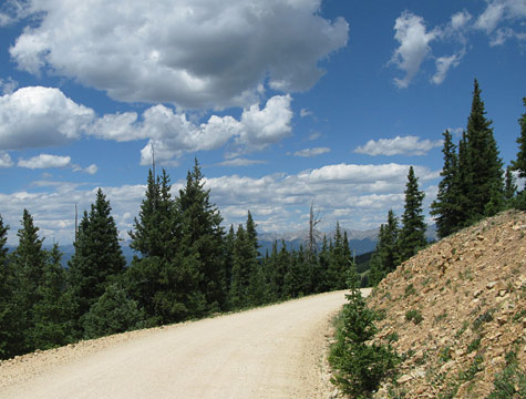
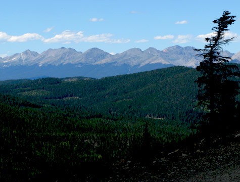
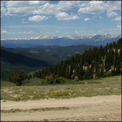 Cumberland Pass road is easily drivable in a 2WD vehicle, but it is also a popular Colorado ATV and dirt bikes road; trails crisscross the mountain in all directions. As you leave Pitkin, watch the mountain stream on your right. Beavers have dammed the creek in many places and you can occasionally (ok rarely) catch site of these furry critters. But you will definitely see evidence of beaver-chewed trees along the road. Some people believe that these ponds make for good trout fishing. The entire road from Pitkin to TinCup is amazingly beautiful.
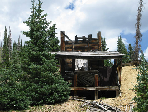
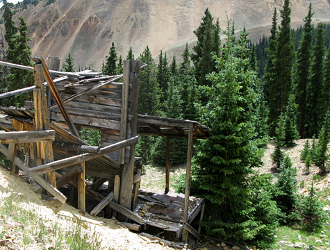
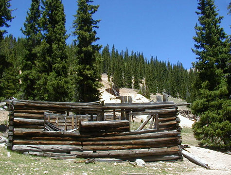
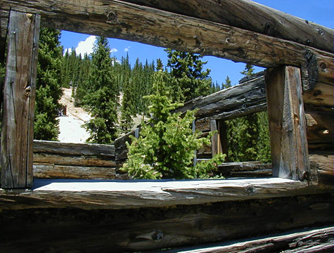
The pass was constructed in 1882 to connect Tincup to Pitkin and the Denver South Park and Pacific Railroad, thus creating a route for the miners to take their gold and silver ore to be smelted. Mining sites still dot the mountains. On Cumberland Road the most prominent one is the Bon Ton mine. Tucked just below the summit on the Pitkin side of the pass, the Bon Ton is a popular photo opportunity and place to stop and explore