Lower Lamphier Lake Hike
(text and photos by Glen Kirkendall)
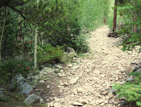
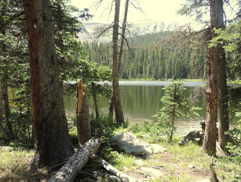
If a relatively steep two mile hike sounds interesting, the Lower Lamphier trek may be one to consider. The trail is rocky in places but sure footing can be found by watching the trail. Water and snacks or a picnic lunch will be needed and appreciated during the round trip hike.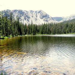
- Begin the trip at the City Limit sign in Pitkin and travel west 6.5 miles to Ohio City. Take the right turn off Highway 76 and begin the beautiful drive up the Gold Creek Road. You will be traveling on County Road 771.
- Continue traveling on 771 for approximately 7 miles and you will arrive at the Gold Creek Campground. You will notice that the road will become a two wheel trail leading upward at a slanting right angle.
- Follow the trail and cross a seemingly rickety sub-floor bridge. You will soon arrive at the Lamphier Trail Head sign and there you can find a parking place for your vehicle
- *IF you do not wish to drive your vehicle to the Lamphier Trail Head, you can park your vehicle in the open area and walk up the two wheel trail, across the bridge, and to the beginning of the hike. Most hikers drive to the Trail Head.
- You will soon find a sign-in box where you can register there if you desire.
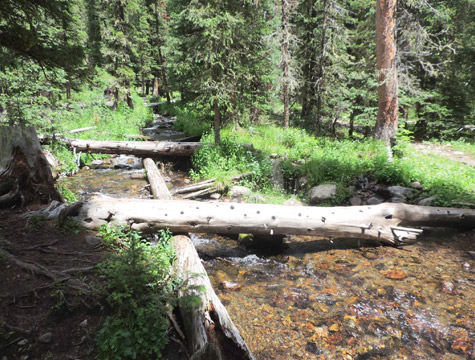
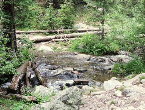
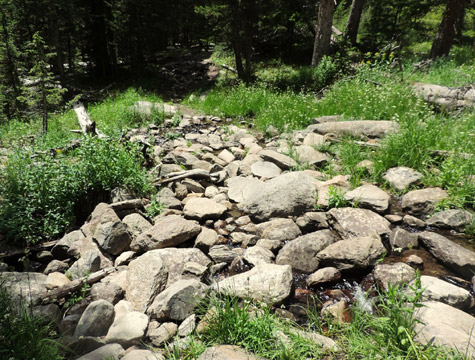
- Continue up the trail. You will find three water crossings that are fun to negotiate.
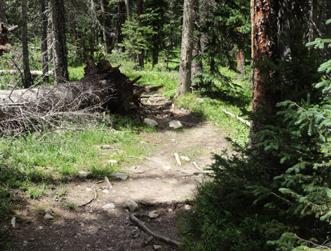
- The trail at the turn off is NOT particularly evident. My GPS reading was 1.92 miles from the Trail Head. There is NO SIGN on the main trail to help you find the trail that leads to the right off the main Lamphier Lake trail. The GPS reading is 38-40-442N and 106.35.303W at the turn. The fallen tree in the sixth picture below (right side on second row of pics) is just above the turnoff.