Mill Lake Hike (text and photos by Glen Kirkendall)
 Travel to Ohio City on Colorado 76, and take the Gold Creek
Road, Colorado Road 771.- Follow 771 seven miles north to the Gold Creek Campground parking area which is 6.79 miles north of Ohio City. 10,030’ elevation.
- Park your vehicle in a manner that permits traffic to pass up the two wheel trail that continues upward.
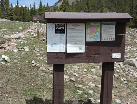
- Look for and find the trail head marker that stands alone and is clearly visible. (38.39.347N 106.34.528W) Both the trail head sign and hiking trail are clearly visible in the large open area.
- Hike 1/4th mile and you will see a metal sign-in box beside the trail at 38.39.584N 106.34.718W
- Sign in on the sheet that is inside the box, if you desire.
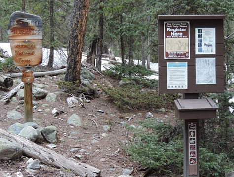
- Stay on the trail that goes straight ahead! Do not take the trail to the left. That trail is longer, more arduous, and leads to Boulder Lake.
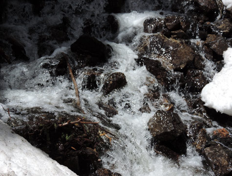
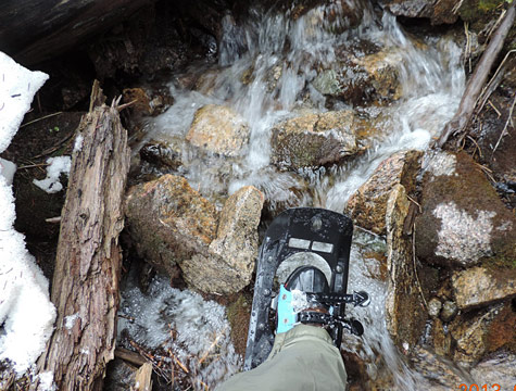
- Continue up the Mill Lake trail at your own pace. There is one water crossing not far from the lake. You can make the crossing rock-to-rock or perhaps you can walk across a large fallen tree that is just upstream.
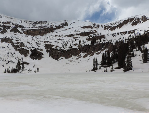
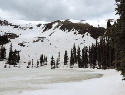
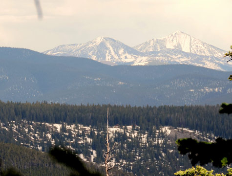
You will see and experience a lot of phenomenal scenery during this hike. The variety is great so spend time stopping and looking both going and coming. The lake is almost exactly 2 miles from the parking area. Fossil Ridge is behind the lake and rises to 12,749′ elevation. Mill Lake is at 11,470′ elevation. Take plenty of water and some snacks. Insect repellant and sun screen are nice in season. Wearing proper foot wear will enhance your hiking experience. I enjoy fishing here, though I’m not always successful. Catch and release is recommended in the high lakes.
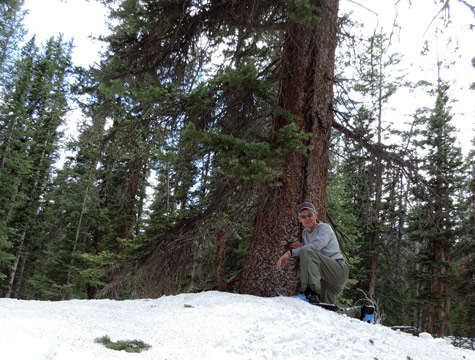
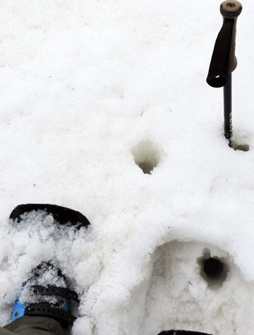
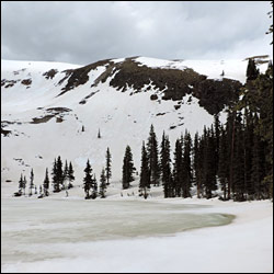
The pictures below exhibit wintery scenes I took in May, 2013, before the snow melted. Summer and fall hikers should find an open trail.